

קובץ:Ph locator map oriental mindoro.png
אין גרסה ברזולוציה גבוהה יותר.
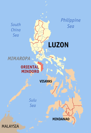
Ph_locator_map_oriental_mindoro.png (300 × 440 פיקסלים, גודל הקובץ: 19 ק"ב, סוג MIME: image/png)
היסטוריית הקובץ
ניתן ללחוץ על תאריך/שעה כדי לראות את הקובץ כפי שנראה באותו זמן.
| תאריך/שעה | תמונה ממוזערת | ממדים | משתמש | הערה | |
|---|---|---|---|---|---|
| נוכחית | 16:55, 30 בדצמבר 2005 | | 440 × 300 (19 ק"ב) | hewiki>Magalhães | Map of the Philippines showing the location of Oriental Mindoro. Created and copyright (2003) by seav. Released under the GNU FDL. |
שימוש בקובץ
![]() אין במכלול דפים המשתמשים בקובץ זה.
אין במכלול דפים המשתמשים בקובץ זה.